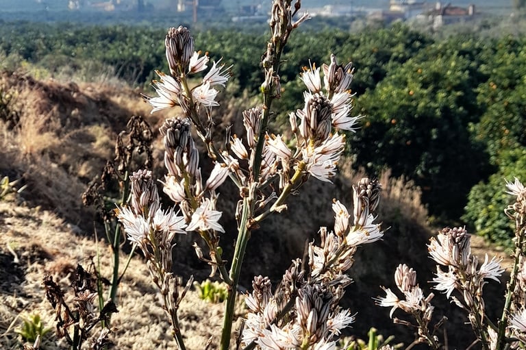
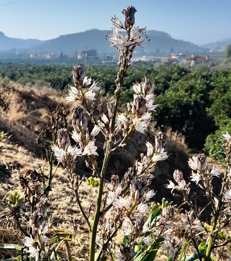
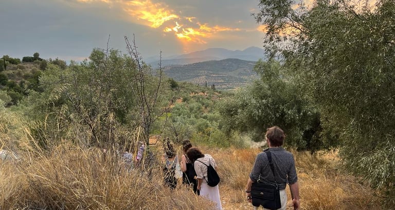
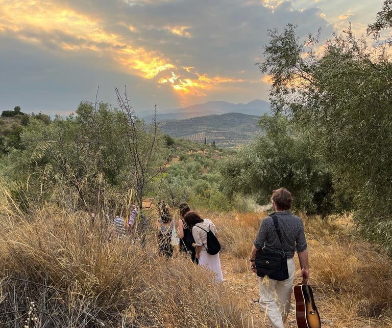
Discover the fauna, flora and cultural heritage of Argolis through the walks offered by a team of hikers, cyclists, mountain guides and naturalists. The proposed routes are only a part of the range of possible walks and leisure activities that Argolis has to offer to visitors and locals. They ideally combine the mountainous and coastal landscape, the gentle and wilder character. It is worth noting that the area is crossed by the E34 international road, which connects ancient Epidaurus with ancient Olympia.
Mythological and Cultural Trails of Argolid
This proposal of walks has specific characteristics:
A composition of itineraries that highlight the local natural and cultural wealth
They cover important parts of the Argolid with three possible reference poles: the Mycenae area (north and east of the regional unit, the Argolid plain area with a focus on the coastline and the western Argolid with the purely mountainous landscape
Routes proposed by local organisations that have a thorough knowledge of the area and already organise hiking or leisure activities
Part A :
Around Mycenae
Longueur : km environ
Degré de difficulté : Faible degré de difficulté
Circulaire : non
Path 1 :
In the footsteps of the Atreides
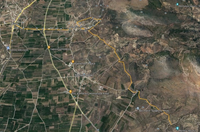
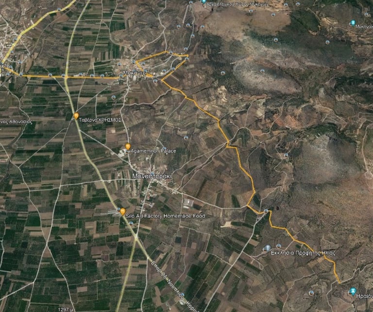
The path to the ancient Heraion through a dirt track in an olive grove meets beautiful chapels, a vaulted Mycenaean tomb of great interest. It ends at the archaeological site of the temple of Hera.
Path 2 :
Former railway station of Mycenae
Longueur : environ 13 km
Degré de difficulté : Faible degré de difficulté
Circulaire : non

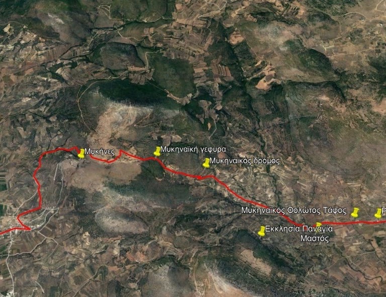
This walk, through olive groves and sheepfolds, follows an ancient Mycenaean road. You will discover ancient remains such as a bridge and Mycenaean vaulted tombs, but also a Roman thermal complex and old water mill installations from the beginning of the century.
Part B :
In the centre of the Argolid plain
Path 3:
Meeting Hercules
Longueur : environ 18 km
Degré de difficulté : Faible degré de difficulté
Circulaire : oui
This route includes important archaeological and mythological points of interest as well as beautiful natural landscapes.
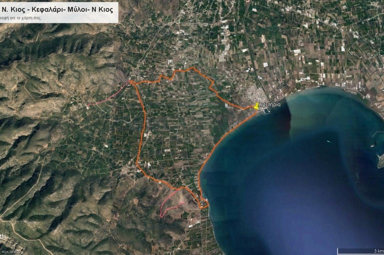
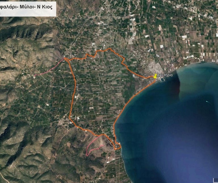
The starting point is Nea Kios, once the largest refugee camp in Greece, and runs partially along the Erasinos River.
Path 4:
Hercules and Geomythology
Longueur : environ 12 km
Degré de difficulté : Faible degré de difficulté
Circulaire : oui
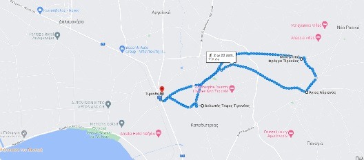

An itinerary on small country roads, between orange and olive groves, connects the main archaeological points of interest of ancient Tirynthe (citadel, vaulted tomb, Mycenaean dam). In addition, you will discover the Paliokastro on the rocky hill of Agios Hadrianos, a fortress from the 4th BC.
Part C :
Artemisio
Path 5: Pathway to Karia
Artemisia Panagia
Longueur : environ 12 km
Degré de difficulté : Difficile
Circulaire : oui
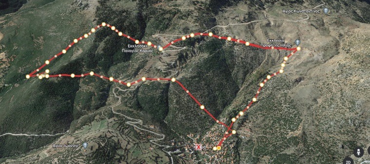

This route starts from the square of the traditional village of Karia, starting with an ascending slope towards the upper part of the village. It heads south with a steep climb that crosses the Argos - Nestani provincial road and enters the pine forest towards the village of Mazi - Aria.
Path 6: In the footsteps of the shepherds
Longueur : environ 8 km
Degré de difficulté : Modéré
Circulaire : oui

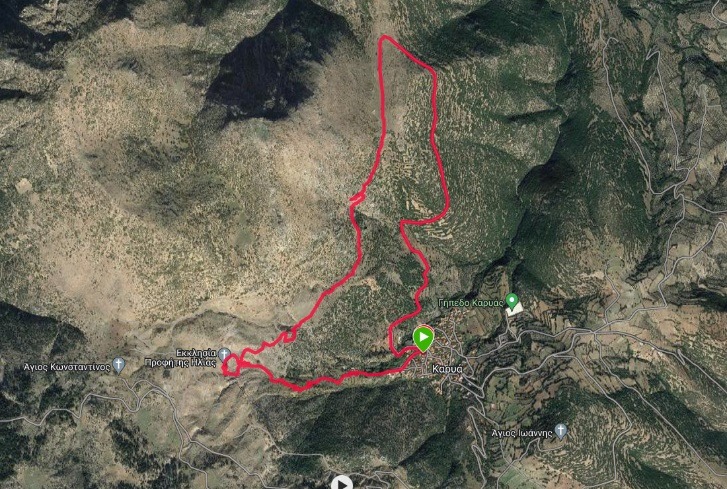
This hike starts from Karya Square in the direction of the "Diaselo" or "longaki" site. It passes through ancient threshing grounds and dry stone plateaus that were used as places for sowing and cultivating cereals. You can enjoy a magnificent view of the bay of Corinth and the plateau of Mount Lyrkeio.
fichtiart2021@gmail.com
Contact
Fichtia
Argolida, Greece
Address
FichtiArt
Sponsors